
Saldang topographic map
Interactive map
Click on the map to display elevation.
About this map
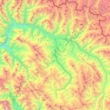
Name: Saldang topographic map, elevation, terrain.
Location: Saldang, Shey Phoksundo, डोल्पा, Karnali Pradesh, Nepal (29.23187 82.95166 29.62966 83.26761)
Average elevation: 4,777 m
Minimum elevation: 3,327 m
Maximum elevation: 6,579 m