
Jabal Walit topographic map
Interactive map
Click on the map to display elevation.
About this map
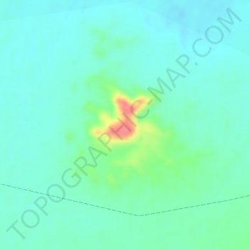
Name: Jabal Walit topographic map, elevation, terrain.
Location: Jabal Walit, Hat District, Al Mahrah Governorate, Yemen (17.85164 52.19646 17.85174 52.19656)
Average elevation: 571 m
Minimum elevation: 552 m
Maximum elevation: 629 m
Other topographic maps
Click on a map to view its topography, its elevation and its terrain.
Ais
Yemen > Al Mahrah Governorate > Ais
Ais, Maselah District, Al Mahrah Governorate, Yemen
Average elevation: 50 m