
Dromathacker topographic map
Interactive map
Click on the map to display elevation.
About this map
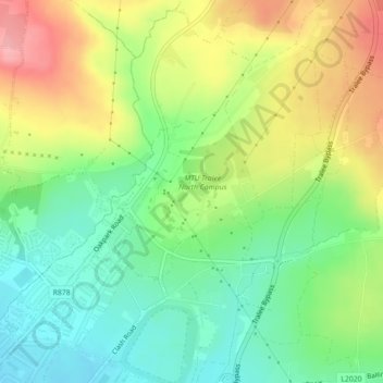
Name: Dromathacker topographic map, elevation, terrain.
Location: Dromathacker, Ratass, Tralee, County Kerry, Munster, Ireland (52.28230 -9.67958 52.29426 -9.66206)
Average elevation: 63 m
Minimum elevation: 16 m
Maximum elevation: 128 m