
Dagdas pagasts topographic map
Interactive map
Click on the map to display elevation.
About this map
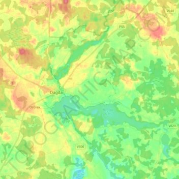
Name: Dagdas pagasts topographic map, elevation, terrain.
Location: Dagdas pagasts, Dagdas novads, Lettgallen, Lettland (56.04229 27.47072 56.15090 27.64787)
Average elevation: 174 m
Minimum elevation: 146 m
Maximum elevation: 212 m