
Thank you for supporting this site ❤️
Make a donation
Make a donation
Chengguan District topographic map
Click on the map to display elevation.
Thank you for supporting this site ❤️
Make a donation
Make a donation
Chengguan District
Lhasa is the second most populous urban area on the Tibetan Plateau after Xining and, at an altitude of 3,656 metres (11,990 ft), Lhasa is one of the highest cities in the world. The city has been the religious and administrative capital of Tibet since the mid-17th century. It contains many culturally significant Tibetan Buddhist sites such as the Potala Palace, Jokhang Temple and Norbulingka Palaces.
Thank you for supporting this site ❤️
Make a donation
Make a donation
About this map
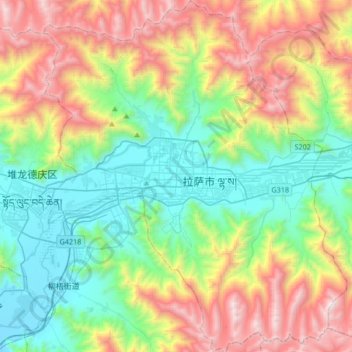
Name: Chengguan District topographic map, elevation, terrain.
Location: Chengguan District, Lhasa, Tibet, 850000, China (29.51215 91.01220 29.80326 91.30094)
Average elevation: 4,325 m
Minimum elevation: 3,614 m
Maximum elevation: 5,654 m
Thank you for supporting this site ❤️
Make a donation
Make a donation