
Corbel topographic map
Interactive map
Click on the map to display elevation.
About this map
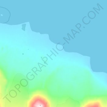
Name: Corbel topographic map, elevation, terrain.
Location: Corbel, Svalbard et Île Jan Mayen, Norvège (78.88350 12.09978 78.92350 12.13978)
Average elevation: 52 m
Minimum elevation: -1 m
Maximum elevation: 568 m