
Chamil topographic map
Interactive map
Click on the map to display elevation.
About this map
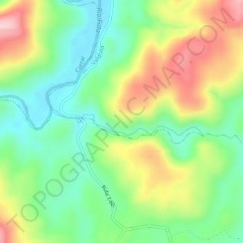
Name: Chamil topographic map, elevation, terrain.
Average elevation: 95 m
Minimum elevation: 3 m
Maximum elevation: 236 m
Other topographic maps
Click on a map to view its topography, its elevation and its terrain.
Valdivia
Chile > Región de Los Ríos > Valdivia
Valdivia, Provincia de Valdivia, Región de Los Ríos, Chile
Average elevation: 143 m
Isla Teja
Chile > Región de Los Ríos > Valdivia
Isla Teja, Valdivia, Provincia de Valdivia, Región de Los Ríos, Chile
Average elevation: 19 m