
Thank you for supporting this site ❤️
Make a donation
Make a donation
Baviaanshoek topographic map
Click on the map to display elevation.
Thank you for supporting this site ❤️
Make a donation
Make a donation
About this map
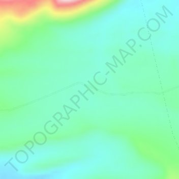
Name: Baviaanshoek topographic map, elevation, terrain.
Average elevation: 1,181 m
Minimum elevation: 1,123 m
Maximum elevation: 1,375 m
Thank you for supporting this site ❤️
Make a donation
Make a donation
Other topographic maps
Click on a map to view its topography, its elevation and its terrain.
Witzenberg Ward 9
South Africa > Western Cape > Cape Winelands District Municipality > Witzenberg Local Municipality
Average elevation: 892 m
Tankwa Town
South Africa > Western Cape > Cape Winelands District Municipality > Witzenberg Local Municipality
Average elevation: 477 m