
Falkenberg topographic map
Interactive map
Click on the map to display elevation.
About this map
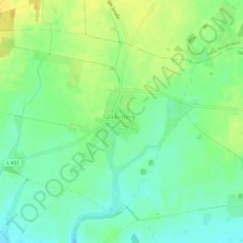
Name: Falkenberg topographic map, elevation, terrain.
Location: Falkenberg, Tauche, Oder-Spree, Brandenburg, Germany (52.15035 14.10358 52.17087 14.14314)
Average elevation: 69 m
Minimum elevation: 57 m
Maximum elevation: 84 m