
Thank you for supporting this site ❤️
Make a donation
Make a donation
Pagedale topographic map
Click on the map to display elevation.
Thank you for supporting this site ❤️
Make a donation
Make a donation
About this map
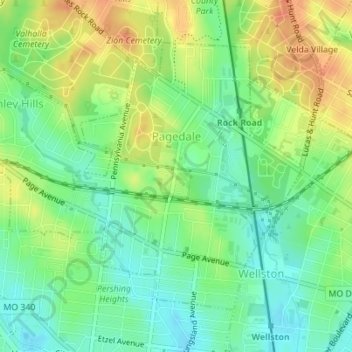
Name: Pagedale topographic map, elevation, terrain.
Location: Pagedale, Saint Louis County, Missouri, 63133, United States (38.67005 -90.32652 38.69055 -90.29528)
Average elevation: 172 m
Minimum elevation: 153 m
Maximum elevation: 196 m
Thank you for supporting this site ❤️
Make a donation
Make a donation