
Pomfret topographic map
Interactive map
Click on the map to display elevation.
About this map
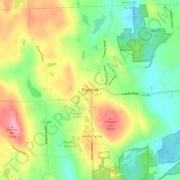
Name: Pomfret topographic map, elevation, terrain.
Location: Pomfret, Windham County, Connecticut, 06258, USA (41.87760 -71.98257 41.91760 -71.94257)
Average elevation: 155 m
Minimum elevation: 98 m
Maximum elevation: 227 m