
Thank you for supporting this site ❤️
Make a donation
Make a donation
Naitwar topographic map
Click on the map to display elevation.
Thank you for supporting this site ❤️
Make a donation
Make a donation
About this map
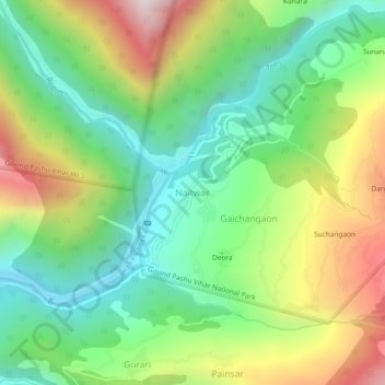
Name: Naitwar topographic map, elevation, terrain.
Location: Naitwar, Mori, Uttarkashi, Uttarakhand, India (31.04618 78.08293 31.08618 78.12293)
Average elevation: 1,645 m
Minimum elevation: 1,223 m
Maximum elevation: 2,350 m
Thank you for supporting this site ❤️
Make a donation
Make a donation