
Alfred topographic map
Interactive map
Click on the map to display elevation.
About this map
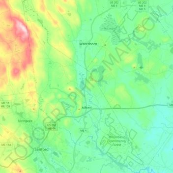
Name: Alfred topographic map, elevation, terrain.
Location: Alfred, York County, Maine, USA (43.41703 -70.79831 43.57548 -70.64234)
Average elevation: 111 m
Minimum elevation: 27 m
Maximum elevation: 336 m