
Roßla topographic map
Interactive map
Click on the map to display elevation.
About this map
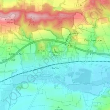
Name: Roßla topographic map, elevation, terrain.
Location: Roßla, Südharz, Mansfeld-Südharz, Saksen-Anhalt, Duitsland (51.44606 11.03945 51.49082 11.11598)
Average elevation: 206 m
Minimum elevation: 142 m
Maximum elevation: 352 m