
Thank you for supporting this site ❤️
Make a donation
Make a donation
Riudecanyes topographic map
Click on the map to display elevation.
Thank you for supporting this site ❤️
Make a donation
Make a donation
About this map
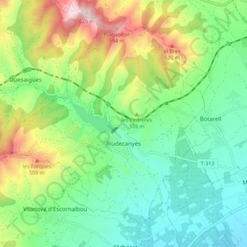
Name: Riudecanyes topographic map, elevation, terrain.
Location: Riudecanyes, Baix Camp, Tarragona, Catalonië, 43771, Spanje (41.11098 0.91131 41.15921 0.99037)
Average elevation: 266 m
Minimum elevation: 97 m
Maximum elevation: 618 m
Thank you for supporting this site ❤️
Make a donation
Make a donation
Other topographic maps
Click on a map to view its topography, its elevation and its terrain.