
Cape May topographic map
Interactive map
Click on the map to display elevation.
About this map
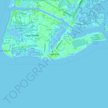
Name: Cape May topographic map, elevation, terrain.
Location: Cape May, Cape May County, New Jersey, 18204, United States (38.89343 -74.96142 38.97343 -74.88142)
Average elevation: 1 m
Minimum elevation: -6 m
Maximum elevation: 11 m