
Halsey topographic map
Interactive map
Click on the map to display elevation.
About this map
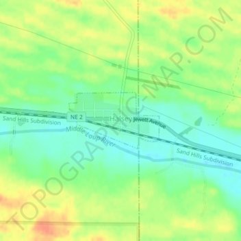
Name: Halsey topographic map, elevation, terrain.
Location: Halsey, Thomas County, Nebraska, United States (41.89977 -100.27676 41.90609 -100.26317)
Average elevation: 833 m
Minimum elevation: 814 m
Maximum elevation: 855 m
Other topographic maps
Click on a map to view its topography, its elevation and its terrain.
Thedford
United States > Nebraska > Thomas County
Thedford, Thomas County, Nebraska, United States
Average elevation: 886 m