
Río Sikarare topographic map
Interactive map
Click on the map to display elevation.
About this map
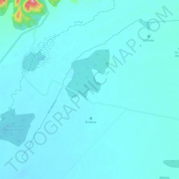
Name: Río Sikarare topographic map, elevation, terrain.
Location: Río Sikarare, Agustín Codazzi, Cesar, RAP Caribe, Colombia (9.83057 -73.50056 9.91195 -73.39675)
Average elevation: 61 m
Minimum elevation: 48 m
Maximum elevation: 239 m