
Thank you for supporting this site ❤️
Make a donation
Make a donation
Magnolia topographic map
Click on the map to display elevation.
Thank you for supporting this site ❤️
Make a donation
Make a donation
About this map
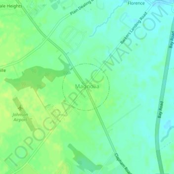
Name: Magnolia topographic map, elevation, terrain.
Location: Magnolia, Kent County, Delaware, United States (39.06778 -75.48068 39.07505 -75.47132)
Average elevation: 7 m
Minimum elevation: -1 m
Maximum elevation: 14 m
Thank you for supporting this site ❤️
Make a donation
Make a donation