
Nemadji topographic map
Interactive map
Click on the map to display elevation.
About this map
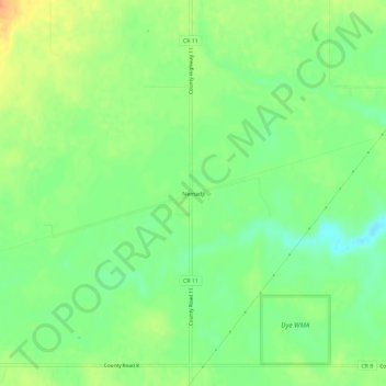
Name: Nemadji topographic map, elevation, terrain.
Location: Nemadji, Carlton County, Minnesota, USA (46.45939 -92.61464 46.49939 -92.57464)
Average elevation: 322 m
Minimum elevation: 303 m
Maximum elevation: 345 m