
San Jacinto topographic map
Interactive map
Click on the map to display elevation.
About this map
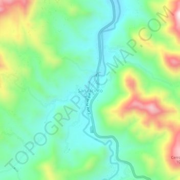
Name: San Jacinto topographic map, elevation, terrain.
Location: San Jacinto, Chiquimula, Guatemala (14.65723 -89.52264 14.69723 -89.48264)
Average elevation: 643 m
Minimum elevation: 458 m
Maximum elevation: 1,032 m