
El Oconal topographic map
Interactive map
Click on the map to display elevation.
About this map
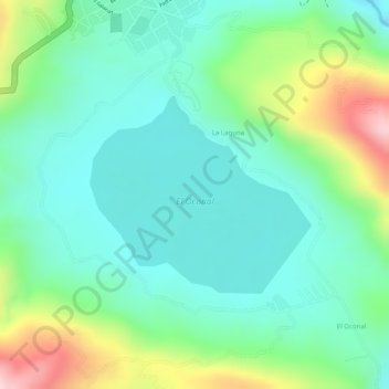
Name: El Oconal topographic map, elevation, terrain.
Location: El Oconal, Villa Rica, Oxapampa, Pasco, Perú (-10.76135 -75.28014 -10.74763 -75.26446)
Average elevation: 1,541 m
Minimum elevation: 1,447 m
Maximum elevation: 1,752 m
Other topographic maps
Click on a map to view its topography, its elevation and its terrain.