
Mont-Gele topographic map
Interactive map
Click on the map to display elevation.
About this map
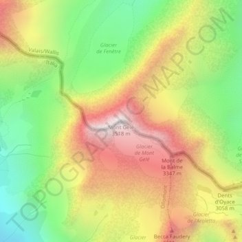
Name: Mont-Gele topographic map, elevation, terrain.
Location: Mont-Gele, Val de Bagnes, Entremont, Valais, 1934, Suisse (45.90409 7.36585 45.90419 7.36595)
Average elevation: 2,920 m
Minimum elevation: 2,384 m
Maximum elevation: 3,496 m