
Chano topographic map
Interactive map
Click on the map to display elevation.
About this map
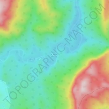
Name: Chano topographic map, elevation, terrain.
Location: Chano, Bojayá (Bellavista), Chocó, Colombia (6.12349 -77.12873 6.16349 -77.08873)
Average elevation: 200 m
Minimum elevation: 68 m
Maximum elevation: 471 m