
Pandrup topographic map
Interactive map
Click on the map to display elevation.
About this map
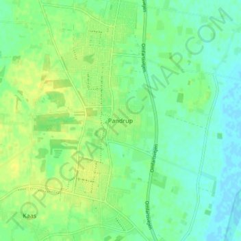
Name: Pandrup topographic map, elevation, terrain.
Location: Pandrup, Jammerbugt Kommune, Region Nordjütland, 9490, Dänemark (57.18943 9.65901 57.22943 9.69901)
Average elevation: 8 m
Minimum elevation: -2 m
Maximum elevation: 17 m