
Rovasenda topographic map
Interactive map
Click on the map to display elevation.
About this map
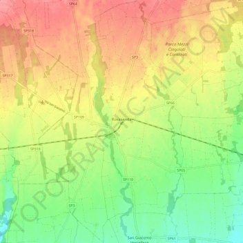
Name: Rovasenda topographic map, elevation, terrain.
Location: Rovasenda, VC, Piemont, Italy (45.49688 8.27740 45.57905 8.34798)
Average elevation: 223 m
Minimum elevation: 181 m
Maximum elevation: 264 m