
Driehuizen topographic map
Interactive map
Click on the map to display elevation.
About this map
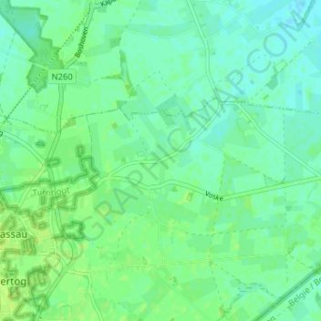
Name: Driehuizen topographic map, elevation, terrain.
Location: Driehuizen, North Brabant, Netherlands, 5111, Netherlands (51.43335 4.94542 51.47335 4.98542)
Average elevation: 26 m
Minimum elevation: 20 m
Maximum elevation: 31 m