
Thank you for supporting this site ❤️
Make a donation
Make a donation
New Castle County topographic map
Click on the map to display elevation.
Thank you for supporting this site ❤️
Make a donation
Make a donation
About this map
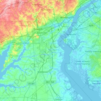
Name: New Castle County topographic map, elevation, terrain.
Location: New Castle County, Delaware, United States (39.29023 -75.78902 39.83943 -75.40528)
Average elevation: 31 m
Minimum elevation: -5 m
Maximum elevation: 192 m
Thank you for supporting this site ❤️
Make a donation
Make a donation