
Thank you for supporting this site ❤️
Make a donation
Make a donation
Koło County topographic map
Click on the map to display elevation.
Thank you for supporting this site ❤️
Make a donation
Make a donation
About this map
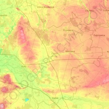
Name: Koło County topographic map, elevation, terrain.
Location: Koło County, Greater Poland Voivodeship, Poland (52.06088 18.45694 52.42836 19.10502)
Average elevation: 113 m
Minimum elevation: 58 m
Maximum elevation: 170 m
Thank you for supporting this site ❤️
Make a donation
Make a donation
Other topographic maps
Click on a map to view its topography, its elevation and its terrain.