
Thank you for supporting this site ❤️
Make a donation
Make a donation
Kimberly topographic map
Click on the map to display elevation.
Thank you for supporting this site ❤️
Make a donation
Make a donation
About this map
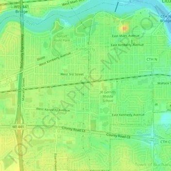
Name: Kimberly topographic map, elevation, terrain.
Location: Kimberly, Outagamie County, Wisconsin, 54136, United States (44.25085 -88.35894 44.27999 -88.32015)
Average elevation: 225 m
Minimum elevation: 210 m
Maximum elevation: 240 m
Thank you for supporting this site ❤️
Make a donation
Make a donation
Other topographic maps
Click on a map to view its topography, its elevation and its terrain.