
St. John topographic map
Interactive map
Click on the map to display elevation.
About this map
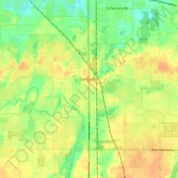
Name: St. John topographic map, elevation, terrain.
Location: St. John, Lake County, Indiana, 46373, USA (41.42004 -87.52589 41.47167 -87.42889)
Average elevation: 213 m
Minimum elevation: 193 m
Maximum elevation: 228 m