
Santa María Cahabón topographic map
Interactive map
Click on the map to display elevation.
About this map
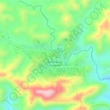
Name: Santa María Cahabón topographic map, elevation, terrain.
Location: Santa María Cahabón, Alta Verapaz, Guatemala (15.60104 -89.82024 15.61532 -89.80401)
Average elevation: 262 m
Minimum elevation: 166 m
Maximum elevation: 395 m