
Mulima topographic map
Interactive map
Click on the map to display elevation.
About this map
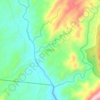
Name: Mulima topographic map, elevation, terrain.
Location: Mulima, Blantyre, Southern Region, Malawi (-15.83510 34.85166 -15.79510 34.89166)
Average elevation: 481 m
Minimum elevation: 373 m
Maximum elevation: 699 m