
Thank you for supporting this site ❤️
Make a donation
Make a donation
Ward 11 topographic map
Click on the map to display elevation.
Thank you for supporting this site ❤️
Make a donation
Make a donation
About this map
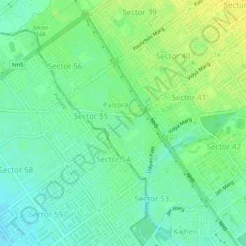
Name: Ward 11 topographic map, elevation, terrain.
Location: Ward 11, Chandigarh, Chandigarh District, Chandigarh, India (30.71294 76.71372 30.74523 76.74041)
Average elevation: 328 m
Minimum elevation: 318 m
Maximum elevation: 339 m
Thank you for supporting this site ❤️
Make a donation
Make a donation