
Herblinghausen topographic map
Interactive map
Click on the map to display elevation.
About this map
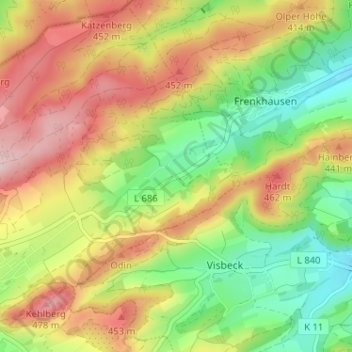
Name: Herblinghausen topographic map, elevation, terrain.
Average elevation: 369 m
Minimum elevation: 258 m
Maximum elevation: 493 m
Other topographic maps
Click on a map to view its topography, its elevation and its terrain.
Dörnholthausen
Duitsland > Noordrijn-Westfalen > Hochsauerlandkreis > Sundern > Dörnholthausen
Dörnholthausen, Sundern, Hochsauerlandkreis, Noordrijn-Westfalen, 59846, Duitsland
Average elevation: 410 m