
Adkins topographic map
Interactive map
Click on the map to display elevation.
About this map
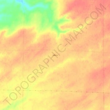
Name: Adkins topographic map, elevation, terrain.
Location: Adkins, Walla Walla County, Washington, USA (46.23236 -118.72471 46.27236 -118.68471)
Average elevation: 304 m
Minimum elevation: 259 m
Maximum elevation: 320 m