
Great Chesterford topographic map
Interactive map
Click on the map to display elevation.
About this map
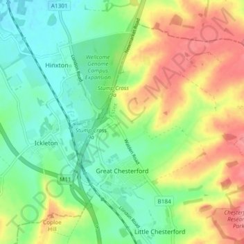
Name: Great Chesterford topographic map, elevation, terrain.
Location: Great Chesterford, Uttlesford, Essex, England, United Kingdom (52.05581 0.18317 52.09266 0.25701)
Average elevation: 58 m
Minimum elevation: 25 m
Maximum elevation: 106 m
Other topographic maps
Click on a map to view its topography, its elevation and its terrain.