
Harderberg topographic map
Interactive map
Click on the map to display elevation.
About this map
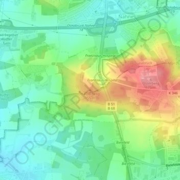
Name: Harderberg topographic map, elevation, terrain.
Location: Harderberg, Osnabrück, Niedersachsen, 49082, Deutschland (52.23486 8.05782 52.23496 8.05792)
Average elevation: 114 m
Minimum elevation: 78 m
Maximum elevation: 181 m