
Thank you for supporting this site ❤️
Make a donation
Make a donation
Shanty Town topographic map
Click on the map to display elevation.
Thank you for supporting this site ❤️
Make a donation
Make a donation
About this map
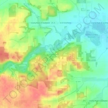
Name: Shanty Town topographic map, elevation, terrain.
Location: Shanty Town, Olmsted County, Minnesota, United States (43.95413 -92.65991 43.99413 -92.61991)
Average elevation: 353 m
Minimum elevation: 323 m
Maximum elevation: 391 m
Thank you for supporting this site ❤️
Make a donation
Make a donation