
Kodari topographic map
Interactive map
Click on the map to display elevation.
About this map
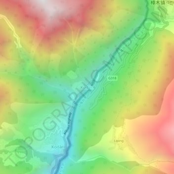
Name: Kodari topographic map, elevation, terrain.
Location: Kodari, Bhotekoshi, सिन्धुपाल्चोक, वाग्मती प्रदेश, Nepal (27.95233 85.94255 27.99233 85.98255)
Average elevation: 2,326 m
Minimum elevation: 1,529 m
Maximum elevation: 3,319 m