
Canta topographic map
Interactive map
Click on the map to display elevation.
About this map
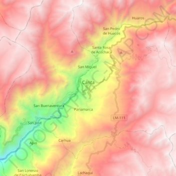
Name: Canta topographic map, elevation, terrain.
Location: Canta, Lima, Perú (-11.53988 -76.67287 -11.40556 -76.50269)
Average elevation: 3,783 m
Minimum elevation: 1,809 m
Maximum elevation: 4,887 m