
Thank you for supporting this site ❤️
Make a donation
Make a donation
Zerpenschleuse topographic map
Click on the map to display elevation.
Thank you for supporting this site ❤️
Make a donation
Make a donation
About this map
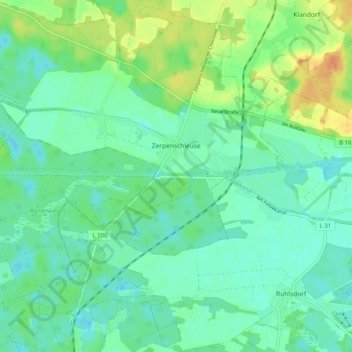
Name: Zerpenschleuse topographic map, elevation, terrain.
Location: Zerpenschleuse, Wandlitz, Barnim, Brandenburg, Duitsland (52.81577 13.47011 52.87659 13.55772)
Average elevation: 43 m
Minimum elevation: 32 m
Maximum elevation: 67 m
Thank you for supporting this site ❤️
Make a donation
Make a donation