
Beuningen Gld topographic map
Interactive map
Click on the map to display elevation.
About this map
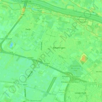
Name: Beuningen Gld topographic map, elevation, terrain.
Location: Beuningen Gld, Beuningen, Gueldre, Pays-Bas (51.83227 5.71763 51.88112 5.81031)
Average elevation: 9 m
Minimum elevation: 0 m
Maximum elevation: 20 m