
Dalla topographic map
Interactive map
Click on the map to display elevation.
About this map
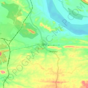
Name: Dalla topographic map, elevation, terrain.
Location: Dalla, Robertsganj, Sonbhadra, Uttar Pradesh, India (24.41143 83.00561 24.49143 83.08561)
Average elevation: 215 m
Minimum elevation: 157 m
Maximum elevation: 326 m