
Hilvarenbeek topographic map
Interactive map
Click on the map to display elevation.
About this map
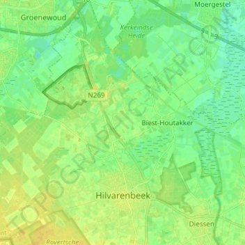
Name: Hilvarenbeek topographic map, elevation, terrain.
Location: Hilvarenbeek, Brabant-Septentrional, Pays-Bas (51.46948 5.04879 51.54592 5.15751)
Average elevation: 17 m
Minimum elevation: 7 m
Maximum elevation: 24 m