
Phillack topographic map
Interactive map
Click on the map to display elevation.
About this map
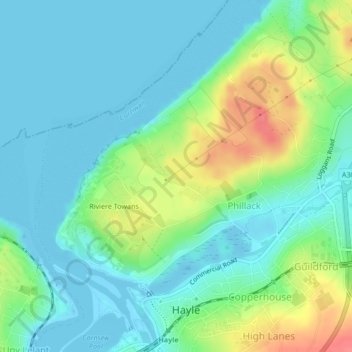
Name: Phillack topographic map, elevation, terrain.
Location: Phillack, Hayle, Cornwall, England, United Kingdom (50.19036 -5.43161 50.20444 -5.40278)
Average elevation: 18 m
Minimum elevation: -3 m
Maximum elevation: 62 m
Other topographic maps
Click on a map to view its topography, its elevation and its terrain.
Riviere Towans
United Kingdom > England > Cornwall > Hayle > Phillack
Riviere Towans, Phillack, Hayle, Cornwall, England, TR27 5AT, United Kingdom
Average elevation: 19 m