
Thank you for supporting this site ❤️
Make a donation
Make a donation
Midmar topographic map
Click on the map to display elevation.
Thank you for supporting this site ❤️
Make a donation
Make a donation
About this map
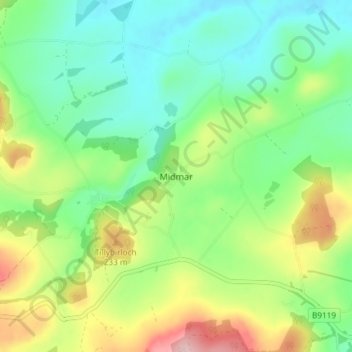
Name: Midmar topographic map, elevation, terrain.
Location: Midmar, Aberdeenshire, Scotland, AB51 7PE, United Kingdom (57.13957 -2.54580 57.17957 -2.50580)
Average elevation: 170 m
Minimum elevation: 106 m
Maximum elevation: 294 m
Thank you for supporting this site ❤️
Make a donation
Make a donation