
Sanad topographic map
Interactive map
Click on the map to display elevation.
About this map
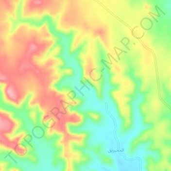
Name: Sanad topographic map, elevation, terrain.
Location: Sanad, Najran, Arabie saoudite (17.89667 43.68000 17.93667 43.72000)
Average elevation: 2,167 m
Minimum elevation: 2,104 m
Maximum elevation: 2,231 m