
Sanon topographic map
Interactive map
Click on the map to display elevation.
About this map
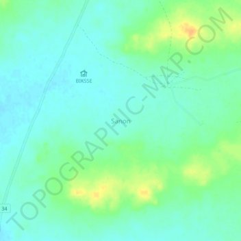
Name: Sanon topographic map, elevation, terrain.
Location: Sanon, Sourgoubila, Kourwéogo, Central-Plateau, Burkina Faso (12.43111 -1.80361 12.47111 -1.76361)
Average elevation: 345 m
Minimum elevation: 335 m
Maximum elevation: 366 m
Other topographic maps
Click on a map to view its topography, its elevation and its terrain.