
Bouza topographic map
Interactive map
Click on the map to display elevation.
About this map
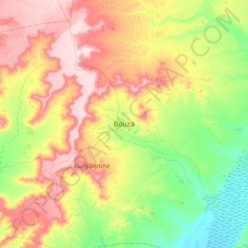
Name: Bouza topographic map, elevation, terrain.
Location: Bouza, Tahoua, Niger (14.26349 5.88366 14.58349 6.20366)
Average elevation: 441 m
Minimum elevation: 321 m
Maximum elevation: 595 m